Data Visualization | Global Airport & Flight Route
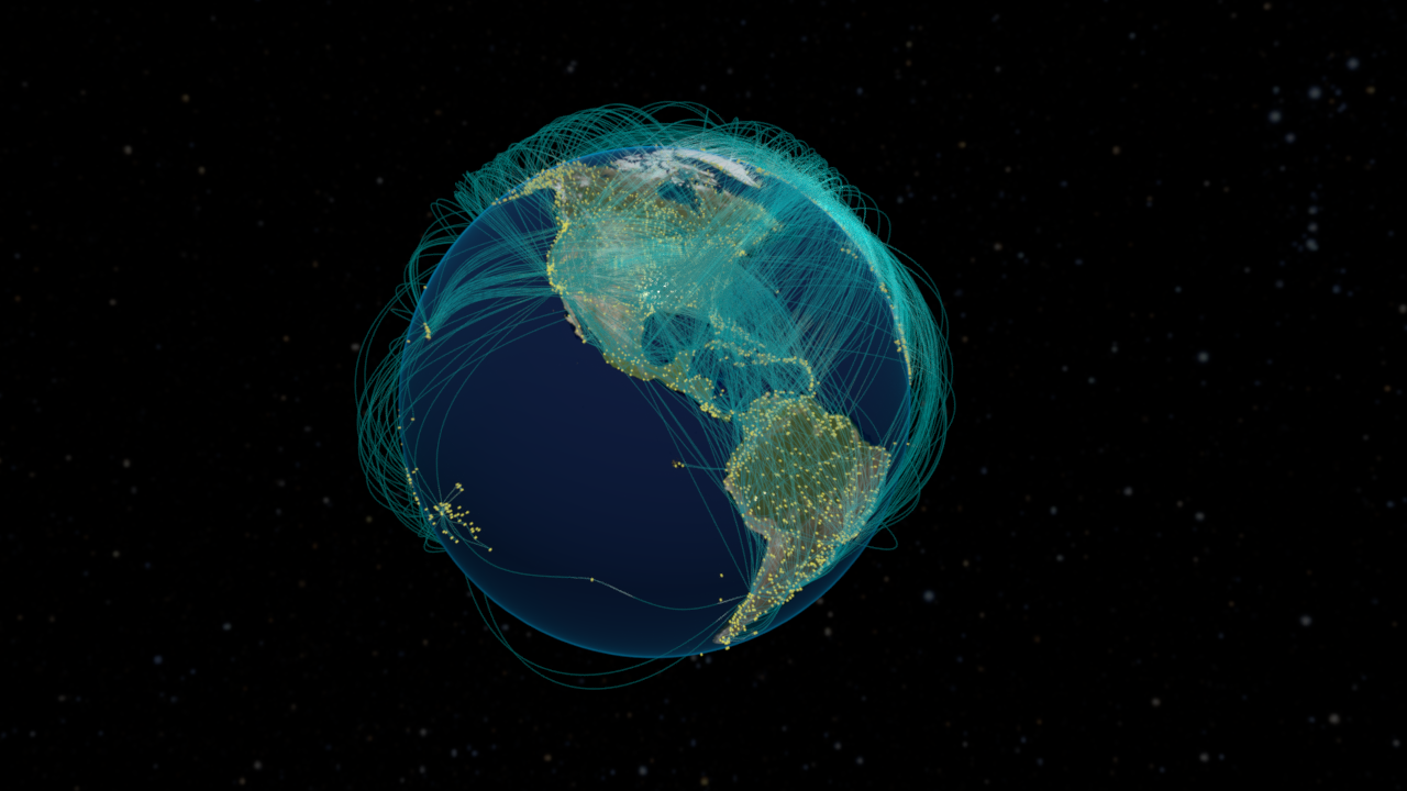
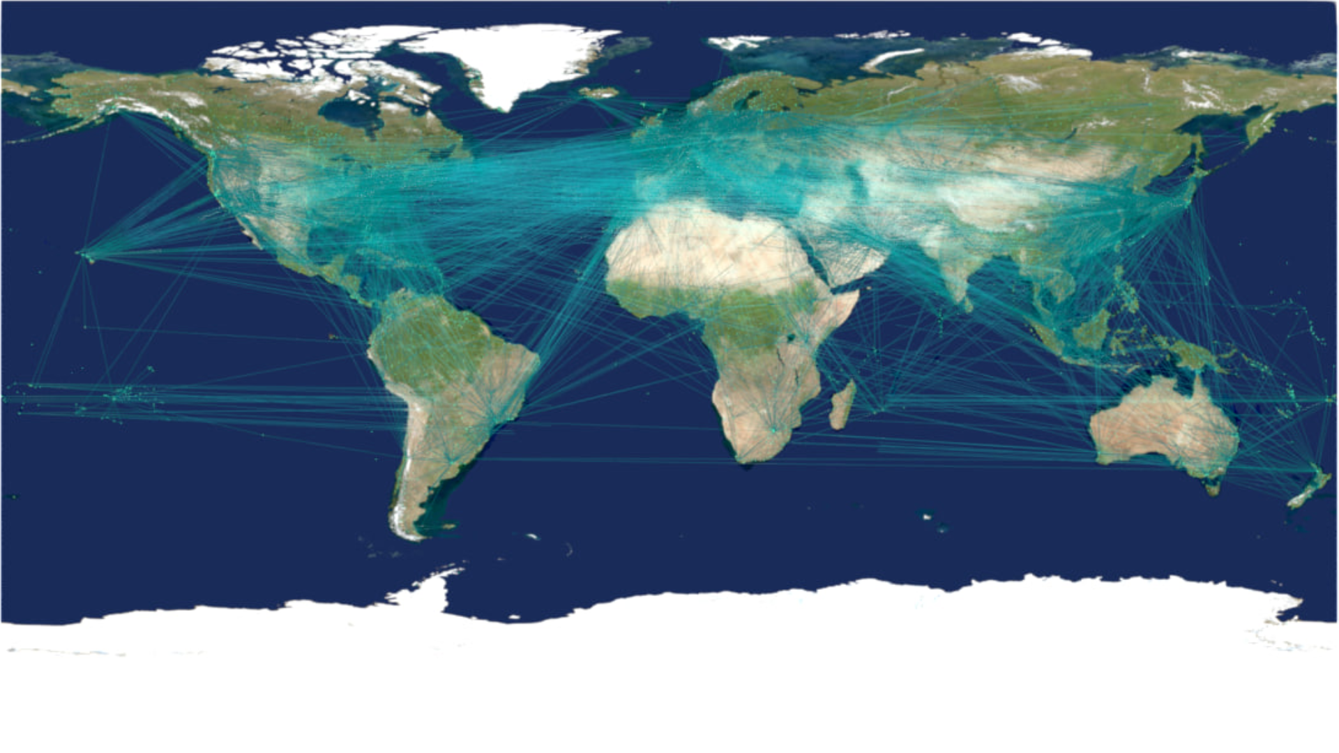
Visualization of global airports and flight routes using spatial network data.
The goal was to reveal patterns of worldwide air travel and connectivity between regions. I transformed the dataset into a clear visual map showing routes across continents.
The visualization was created procedurally using Houdini and delivered as a high-resolution image suitable for presentations and reports.
Outputs
High-resolution still (2D)
High-resolution still (3D)