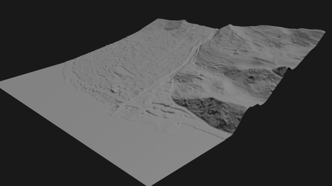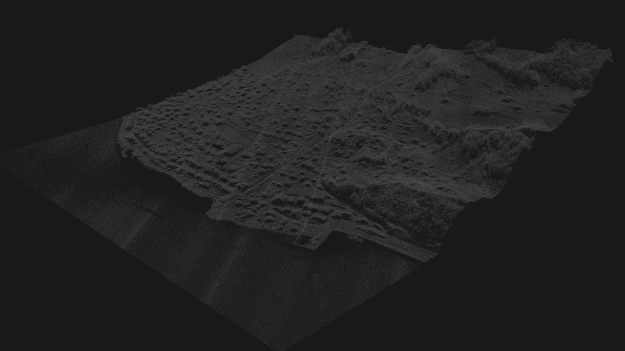
Open Street Map (OSM) to 3D Model
A procedural system that converts OpenStreetMap (OSM) data and elevation data into structured 3D environments.
Workflow
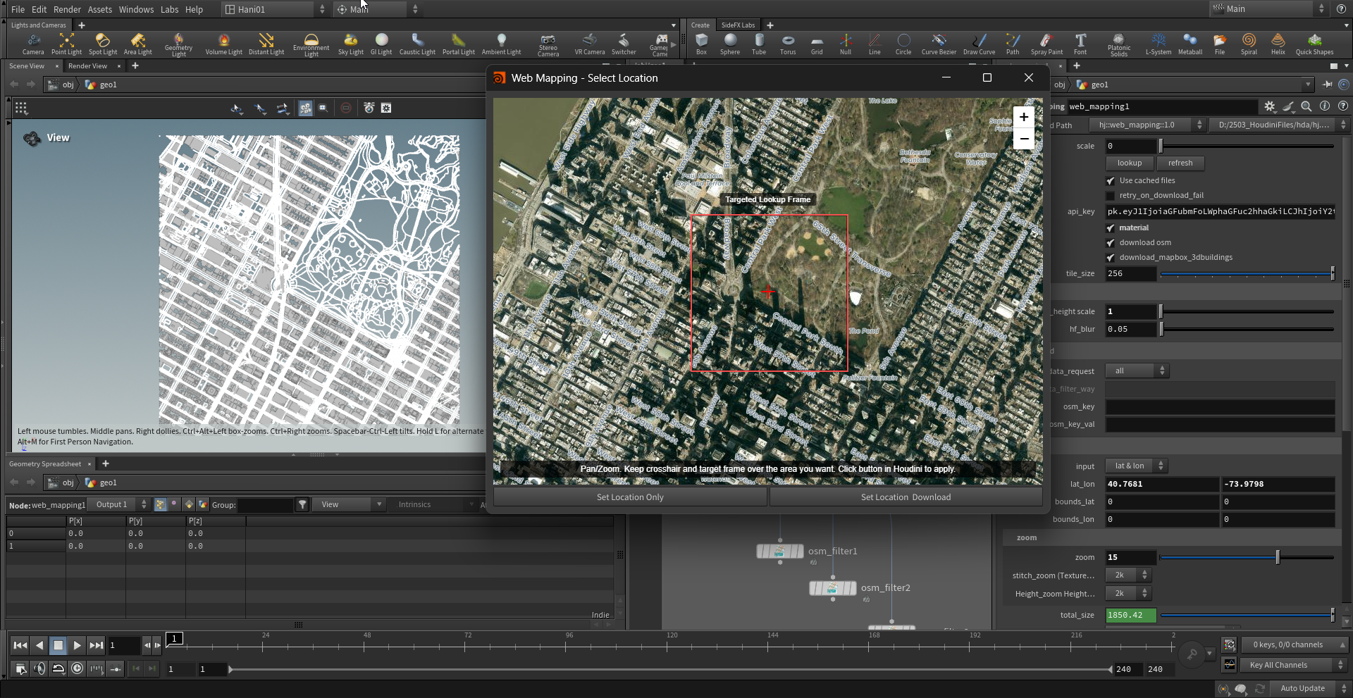
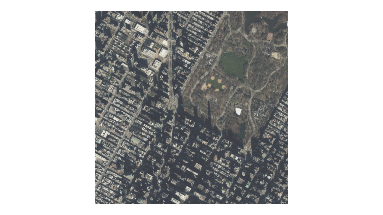
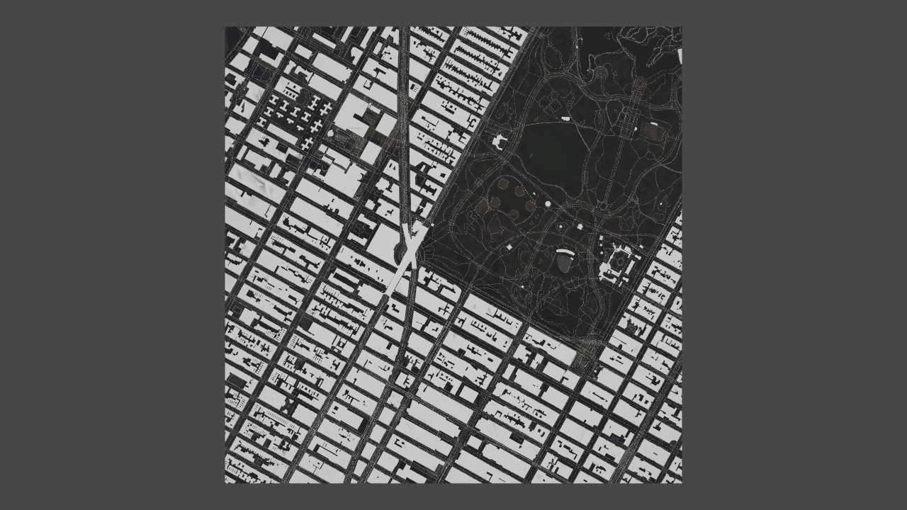
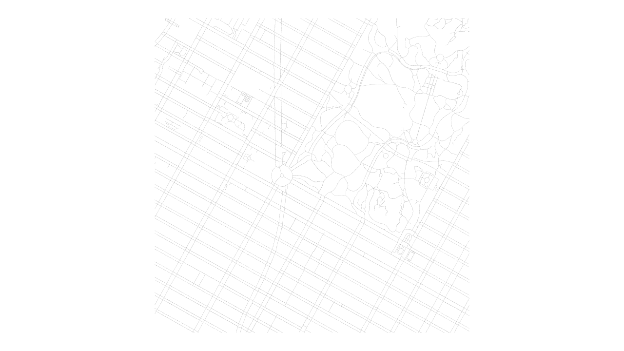
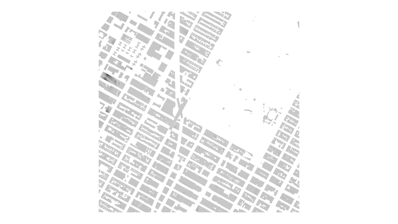
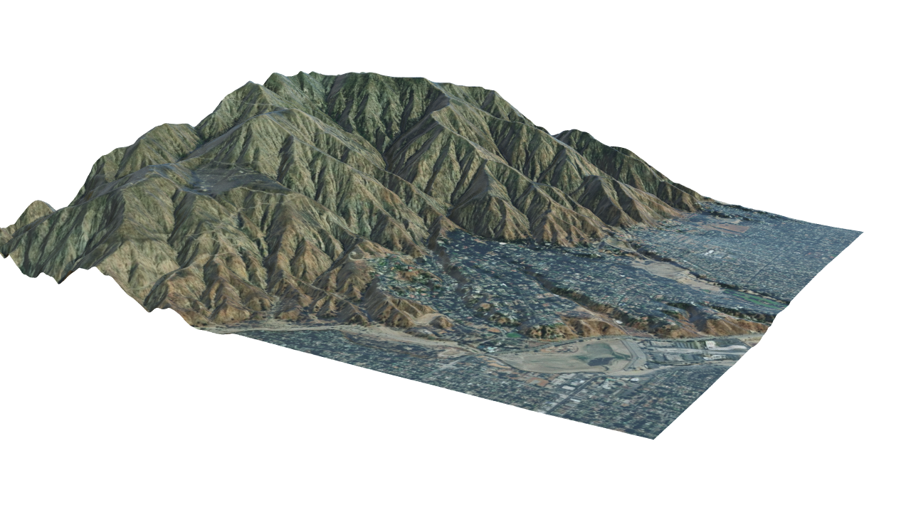
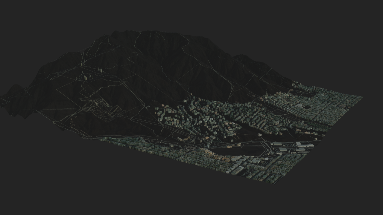
This example shows how raw OSM data is transformed into structured geometry and integrated with real-world terrain.
- Raw data: road network and geographic features from OSM
- Processing: procedural generation of street layouts and spatial structure
- Result: clean, scalable geometry aligned with terrain and satellite context