From Satellite Data to Production-Ready Procedural Terrain
A procedural system for reconstructing real-world terrain from geospatial data. Designed as a reusable pipeline applicable to any real-world terrain dataset.


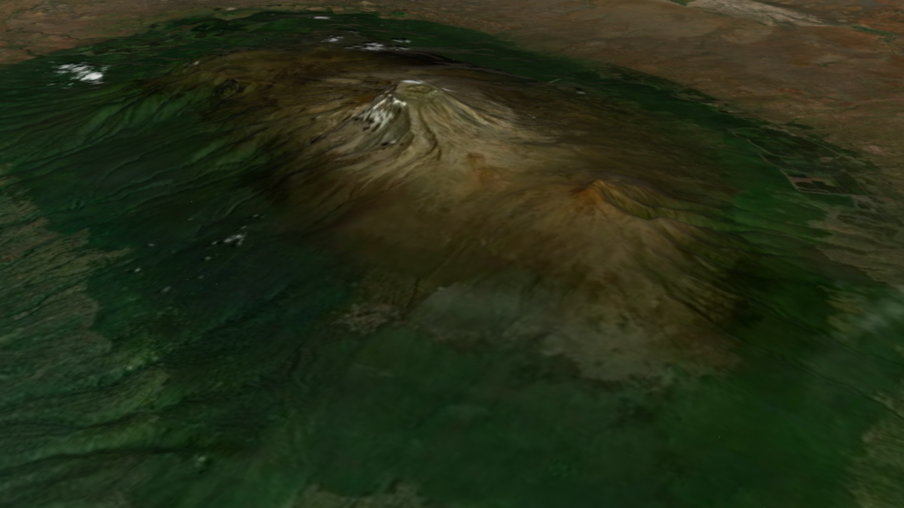
Problem
Raw satellite textures and elevation data contain useful information, but they are rarely production-ready. Without a structured pipeline, each new location becomes a manual one-off build.
System Design Focus
This project is less about a single terrain output and more about the system behind it:
- convert raw satellite data into consistent terrain
- preserve geographic identity through processing
- expose controls for non-destructive iteration
Real-World Reference → Data → System → Result
1. Real-World Reference
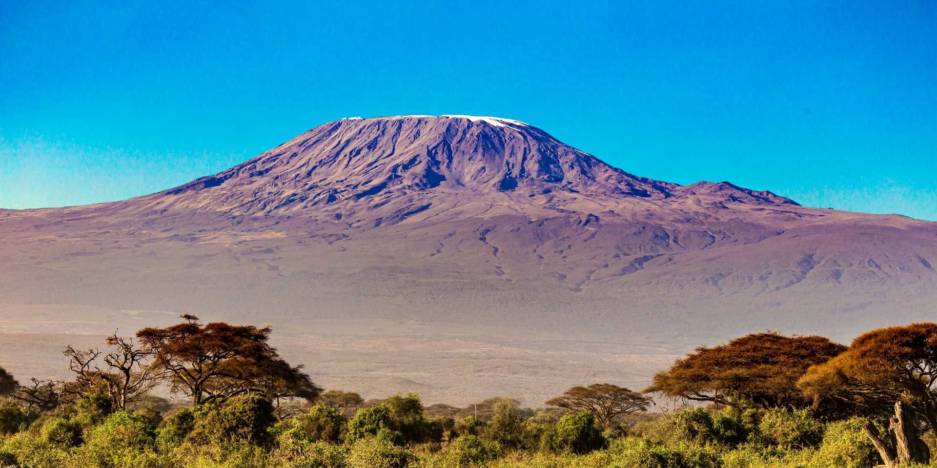
Mount Kilimanjaro — real-world reference used for terrain reconstruction
2. Spatial Context
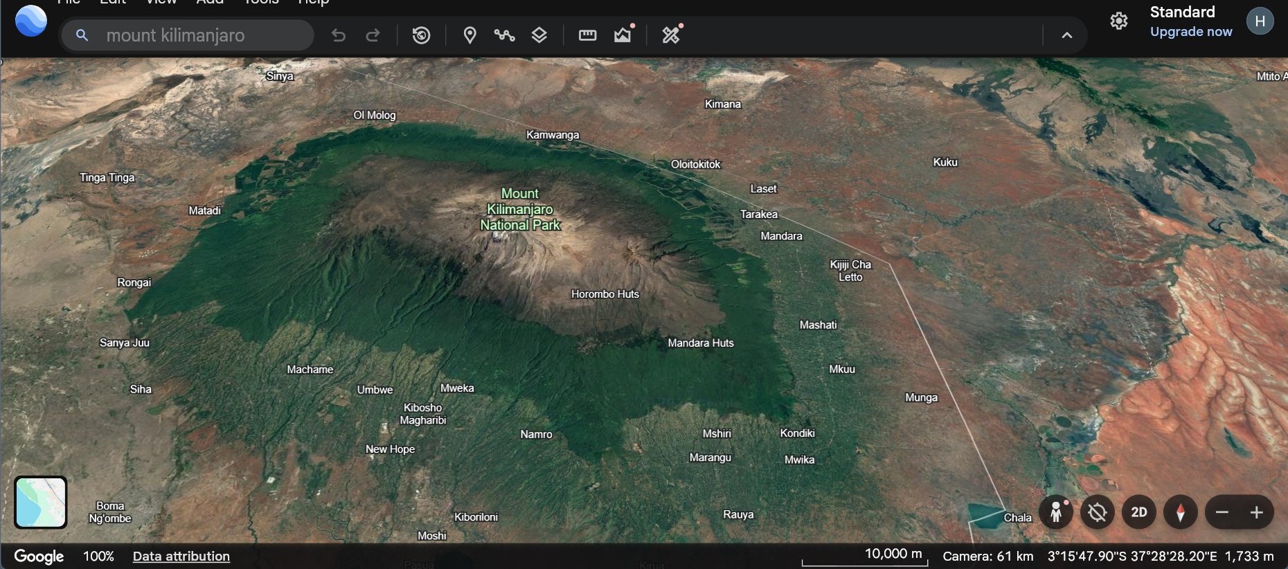
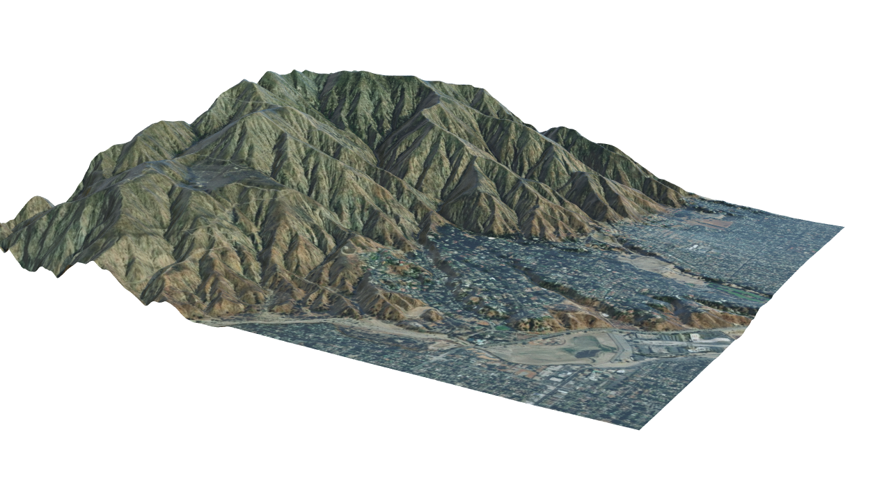
Satellite view showing the full spatial footprint and surrounding terrain context
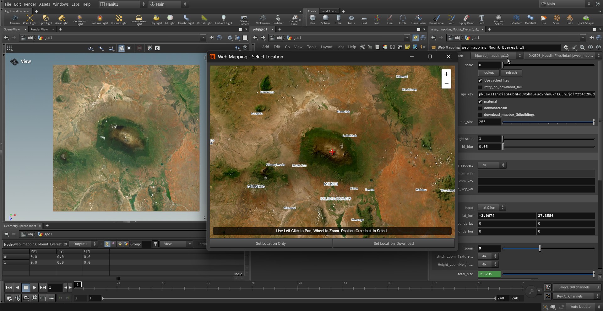
3. Raw Data Inputs
| Height map | Color (albedo) map |
|---|---|
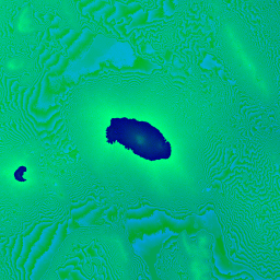 | 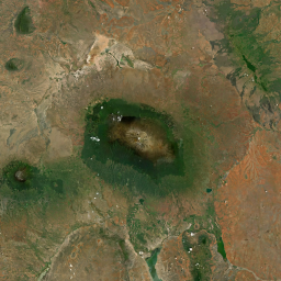 |
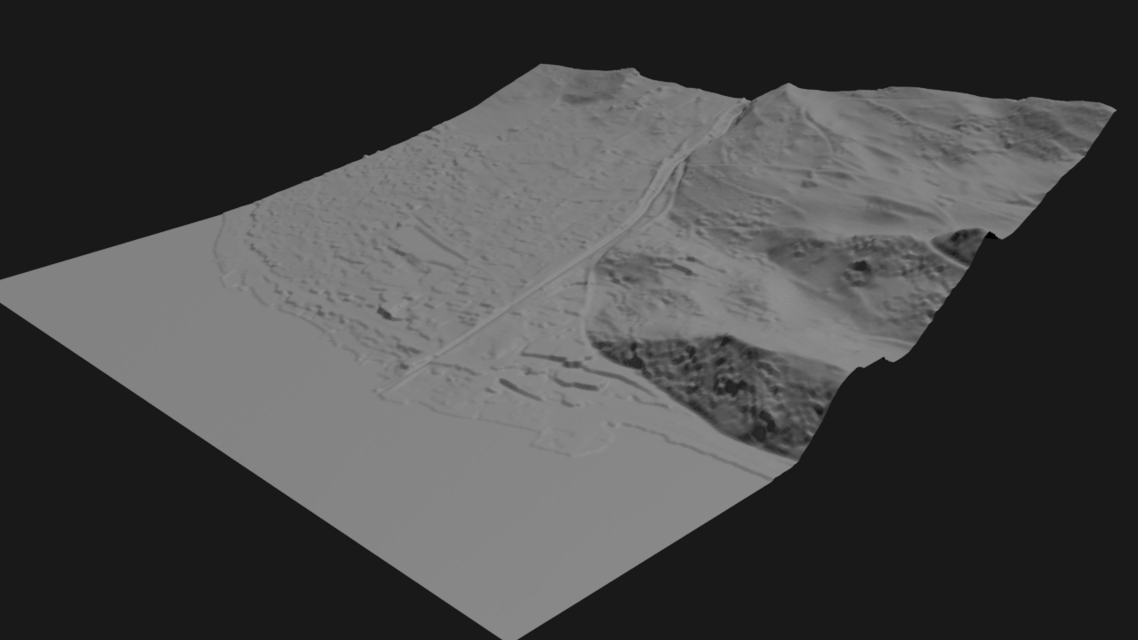
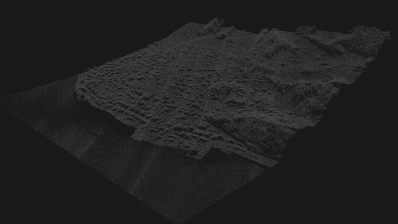
Raw satellite-derived data used as input (elevation + color)
elevation = heightfield
color = surface reference
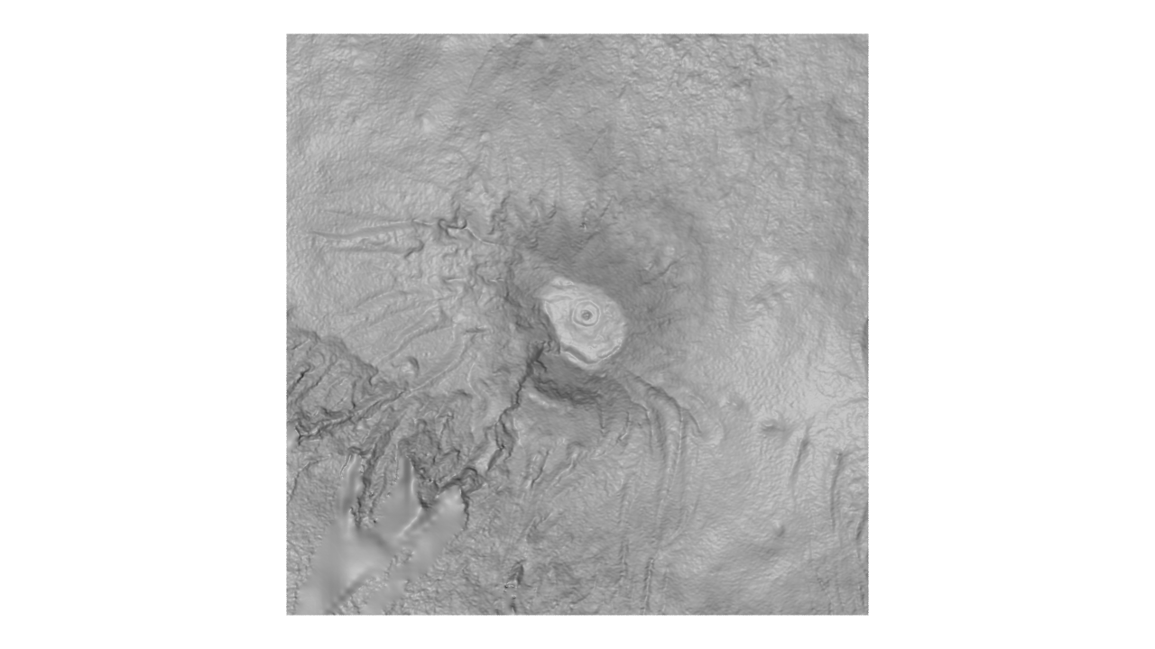
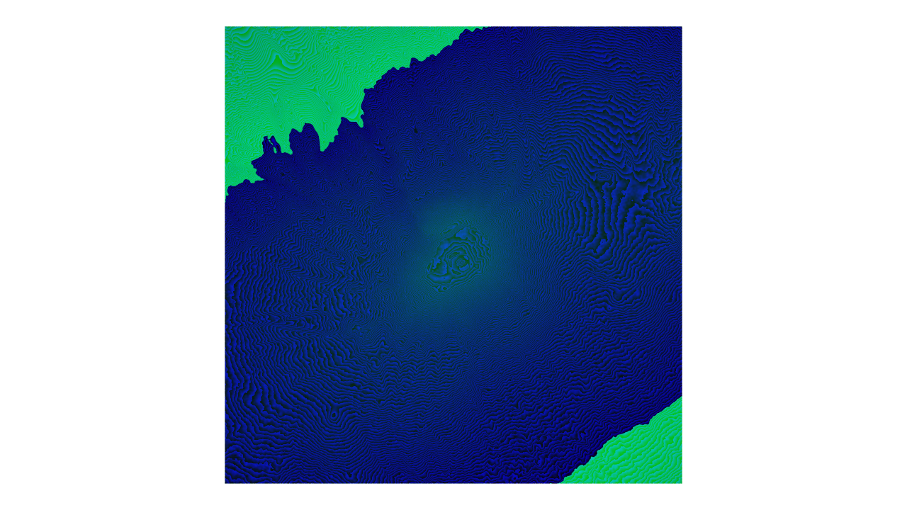
4. Procedural System (Houdini)
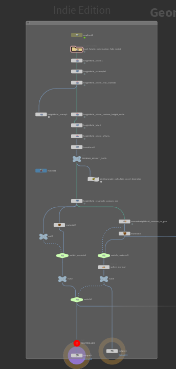
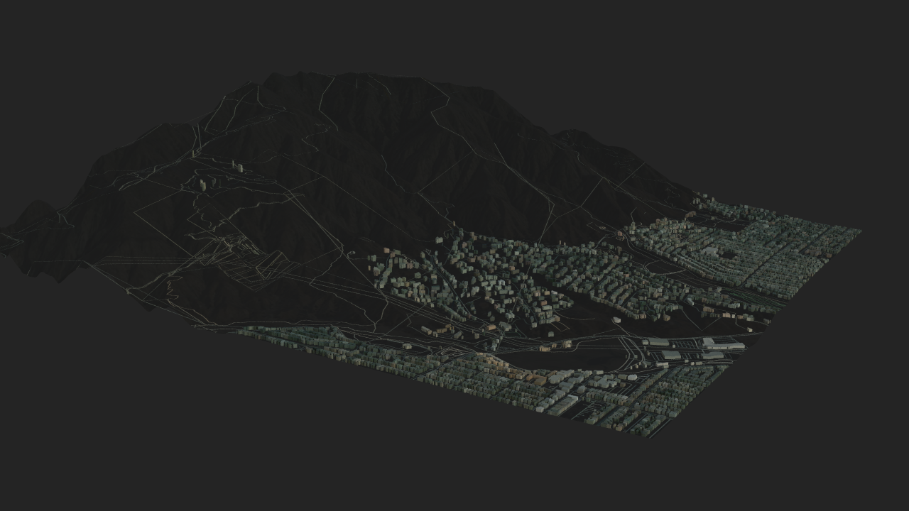
Procedural pipeline for terrain reconstruction and processing
5. Final Output
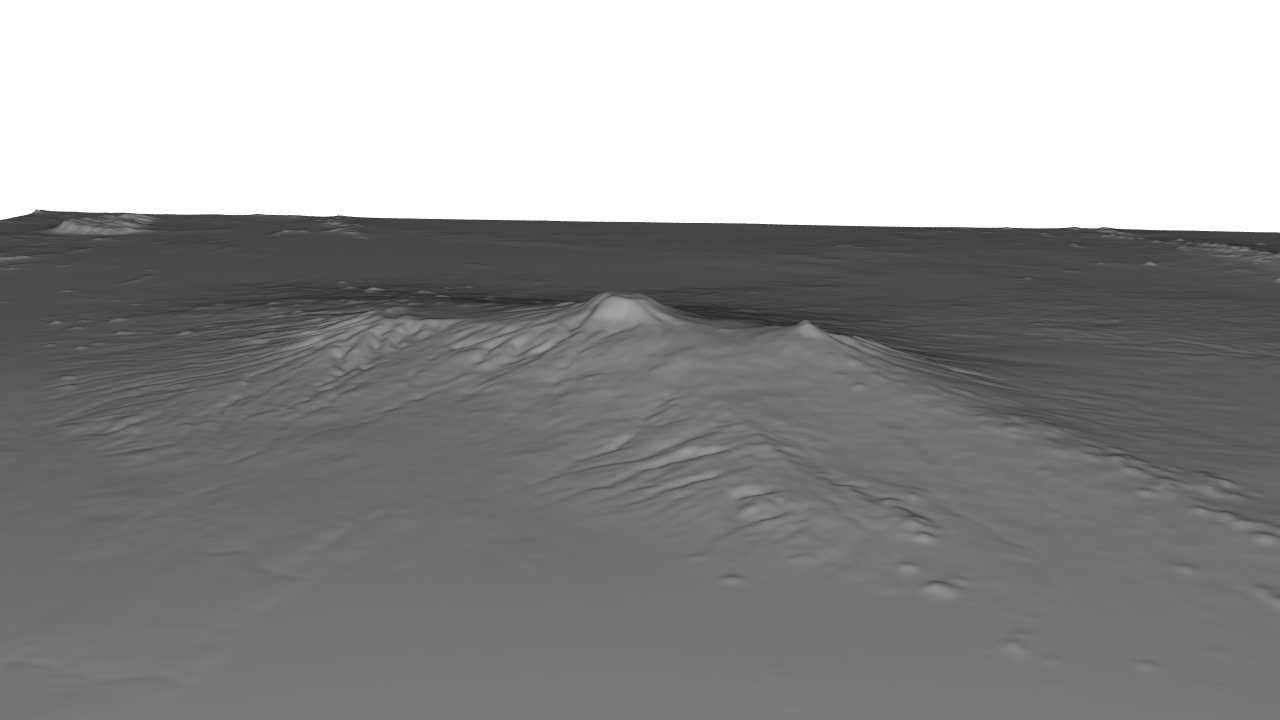
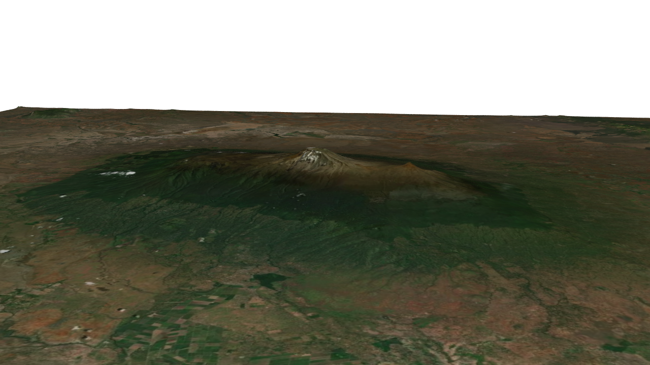
Final generated terrain inside the procedural system
System Approach
I designed the workflow as a modular procedural pipeline:
- Ingest – import elevation + color
- Normalize – clean and remap heightfield
- Process – apply procedural terrain operations
- Control – expose parameters for art direction
- Validate – compare with real-world reference
Result
The result is a repeatable terrain-building system that reconstructs real places while staying flexible for creative direction. Key Result: Preserves geographic identity while enabling procedural control.
Next Direction
This system can be extended into:
- slope / height-based material systems
- erosion simulation and exaggeration