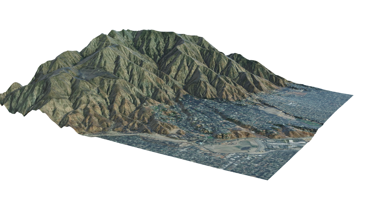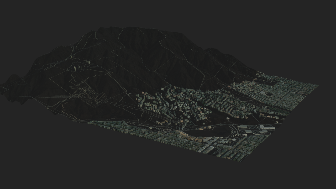
Houdini GeoJSON Tool: From GIS footprints to 3D city blocks
Custom GeoJSON pipeline built in Houdini (Python), including reprojection logic, attribute handling, and geometry reconstruction.
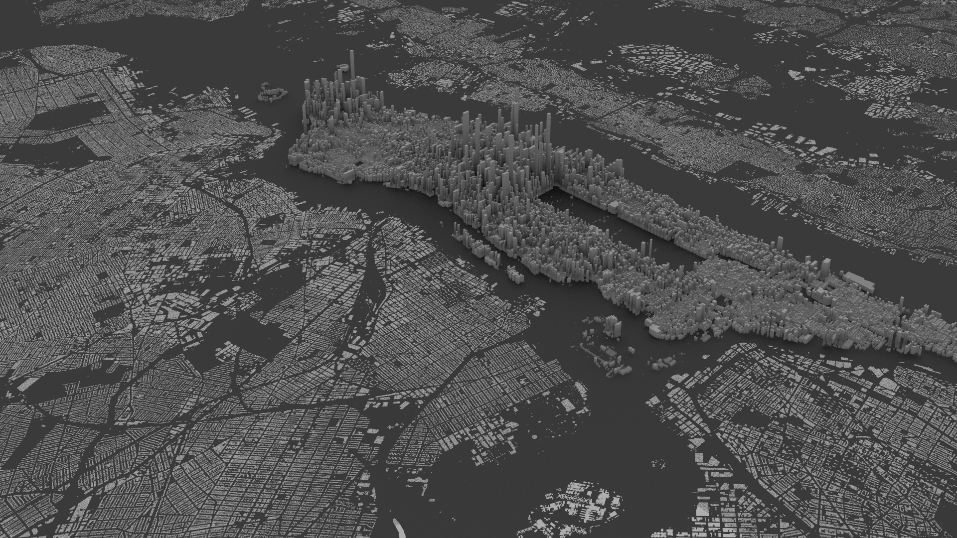
Transforms GeoJSON building data into structured 3D geometry by handling coordinate reprojection, attribute mapping, and geometry reconstruction inside Houdini.
Data flow
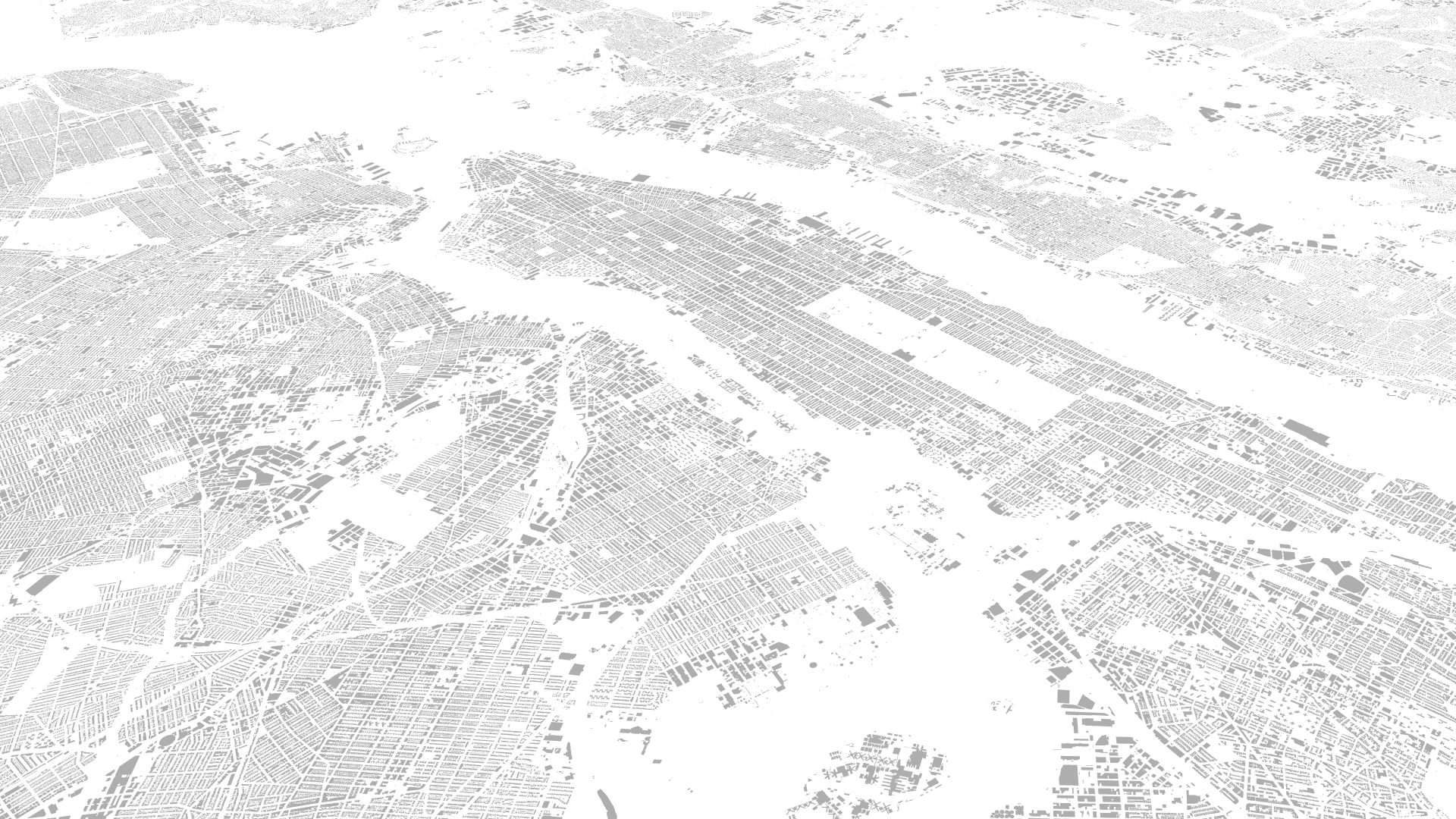
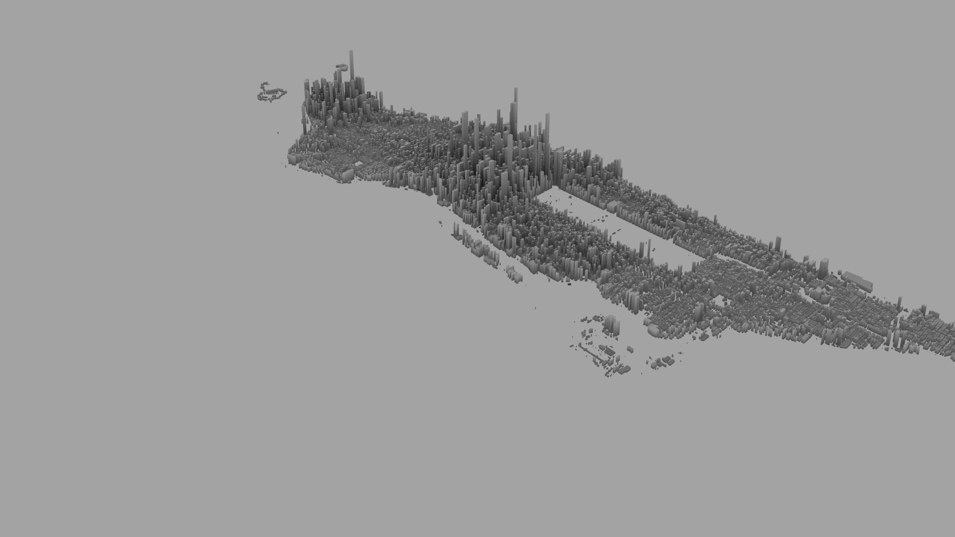
Raw GeoJSON → 2D footprint reconstruction → attribute-driven 3D extrusion
Example source feature (GeoJSON)
json
{
  "type": "Feature",
  "properties": {
    "heightroof": 29.75,
    "cnstrct_yr": 1925
  },
  "geometry": {
    "type": "MultiPolygon",
    "coordinates": [[[...]]]
  }
}
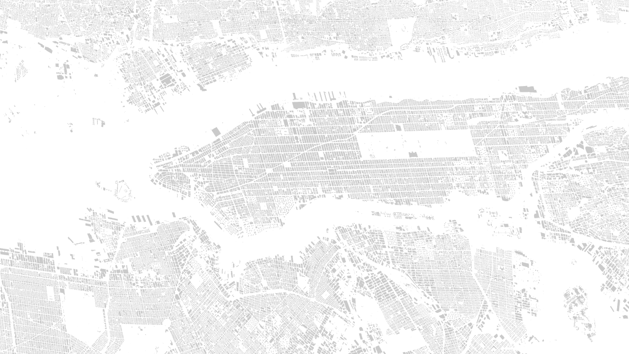
2D footprint
3D Generated Buildings
heightroof→ extrusion height: Procedural extrusion is driven by theheightroofattribute when available.
Dataset reference
- Microsoft US Building Footprints: https://github.com/microsoft/USBuildingFootprints?tab=readme-ov-file