
Terrain Artist Portfolio
I design terrain through multiple approaches — from procedural generation to real-world data extraction and engine integration. Each project explores a different aspect of how terrain can be defined, analyzed, and deployed.


From Satellite Data to Procedural Terrain
Converting satellite imagery and elevation data into structured procedural 3D terrain.
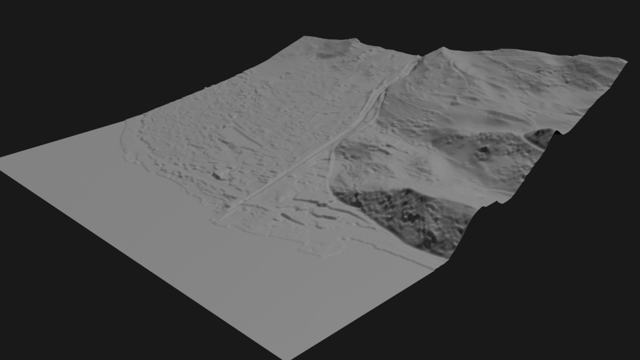
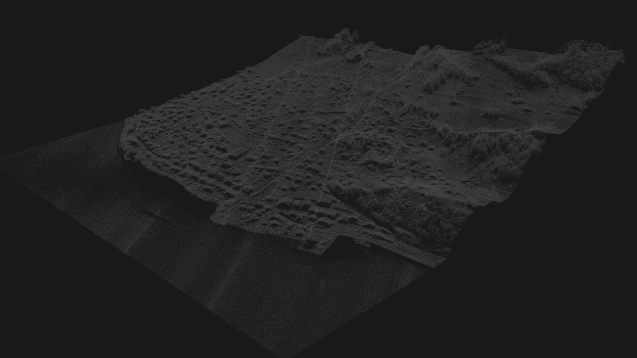
LiDAR (Point Cloud) Processing
Procedural LiDAR point cloud processing workflow for filtering, classifying, and reconstructing terrain from data.
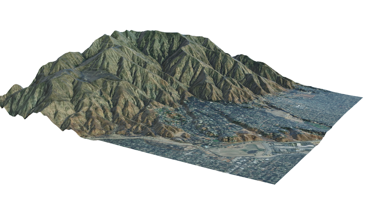
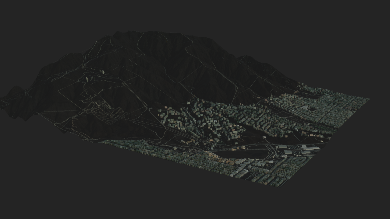
OpenStreetMap (OSM) Geospatial Data
Procedural OpenStreetMap workflow for turning roads, building footprints, and elevation data into structured 3D environments.
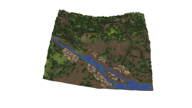
Procedural Terrain System with Noise-Based Mask Blending
Node-based terrain generation with slope-aware masks, settlement flattening, and art-directable controls.
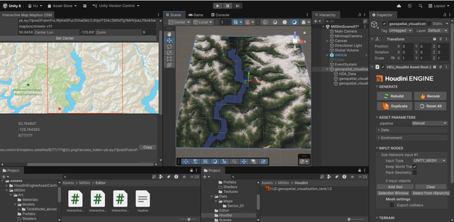
Houdini - Unity Terrain Streaming
Built a Unity-to-Houdini terrain streaming workflow that captures geospatial data, packages metadata, and reconstructs terrain procedurally for real-time engines.
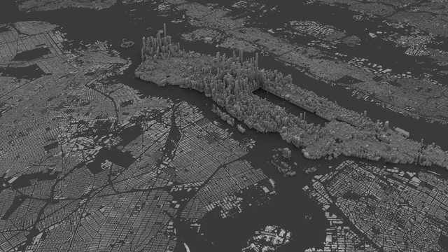
New York City Buildings Geospatial Analysis
Houdini GeoJSON pipeline that converts New York City building footprints into reprojected, attribute-driven 3D city geometry.