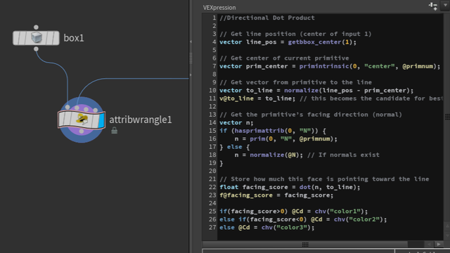
Procedural Geospatial Terrain System
I build procedural terrain systems driven by real-world geospatial data (satellite, LiDAR, OSM), designed for scalable generation and real-time integration.
This page reframes individual experiments into one modular pipeline: data sources → processing → generation → output.
System Diagram
Data Sources
[Satellite] [LiDAR] [OSM]

        ↓

Processing
- Attribute extraction
- Mask generation
- Height / feature logic

        ↓

Generation
- Terrain synthesis
- Feature placement

        ↓

Output
- Heightmaps / masks
- Unity integration
- Streaming (Mapbox)
1) Data Inputs (Foundation)
The system ingests multiple real-world data sources. Each dataset is processed into structured attributes used for terrain generation.
- Satellite pipeline → From Satellite Data to Procedural Terrain Workflow
- LiDAR processing → LiDAR Point Cloud Processing
- OSM data extraction → OpenStreetMap (OSM) Geospatial Data


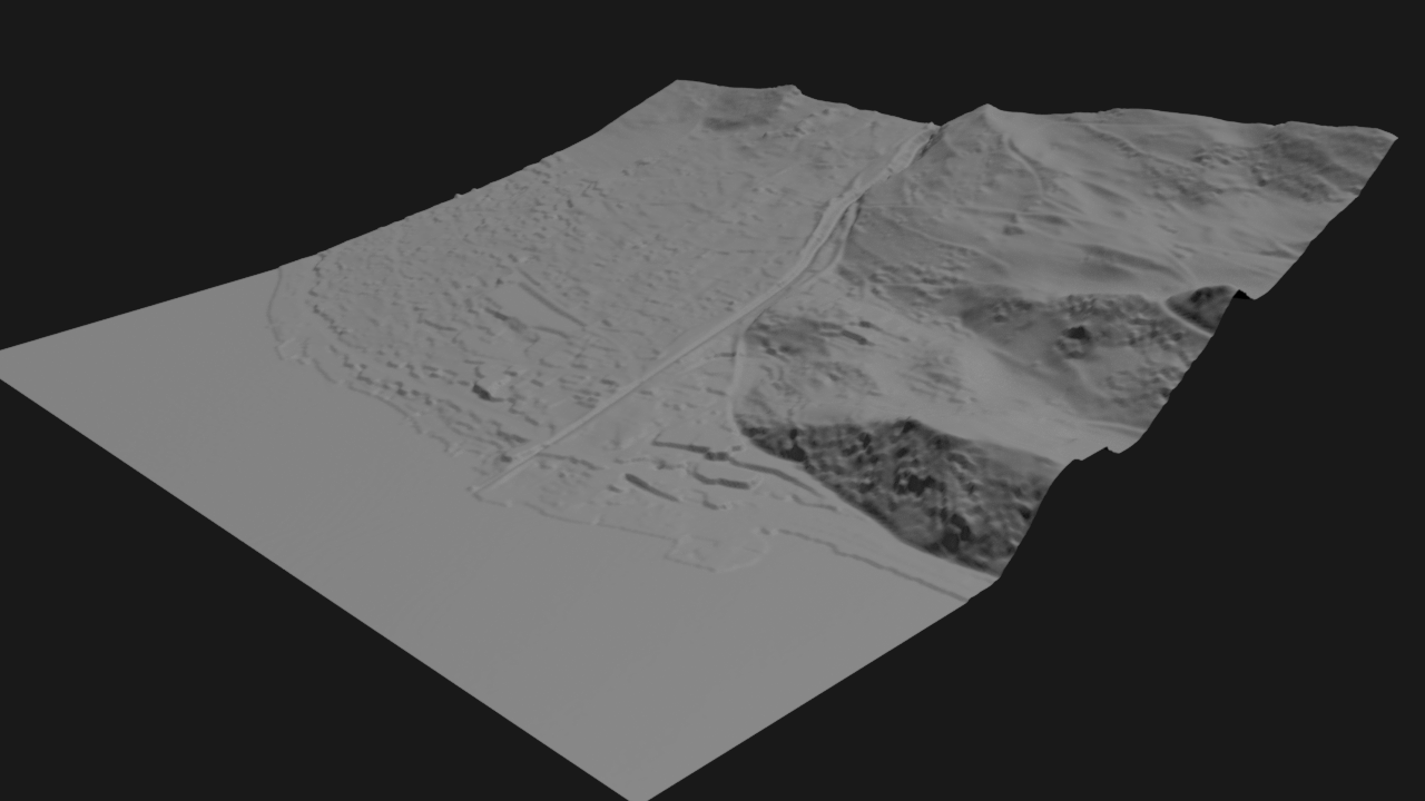
From Satellite Data to Procedural Terrain
Converting satellite imagery and elevation data into structured procedural 3D terrain.
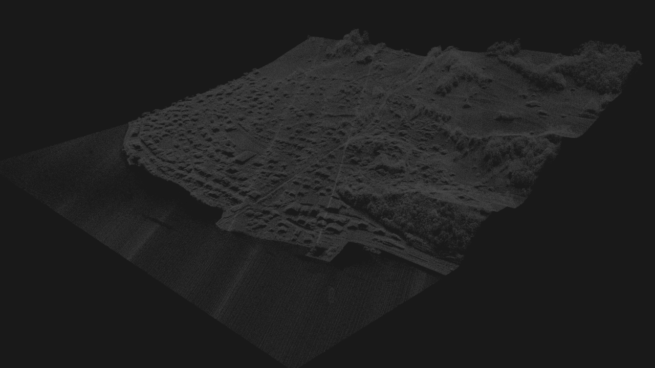
LiDAR (Point Cloud) Processing
Procedural LiDAR point cloud processing workflow for filtering, classifying, and reconstructing terrain from data.
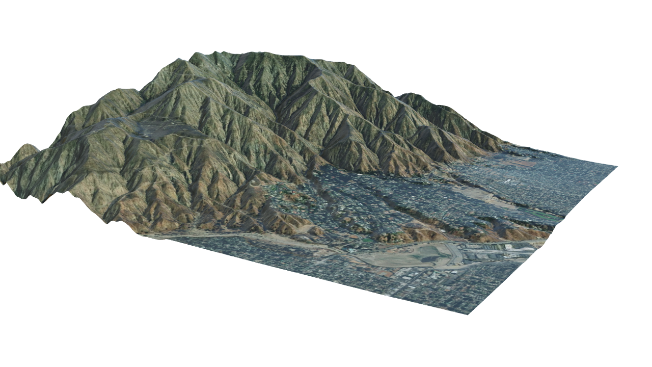
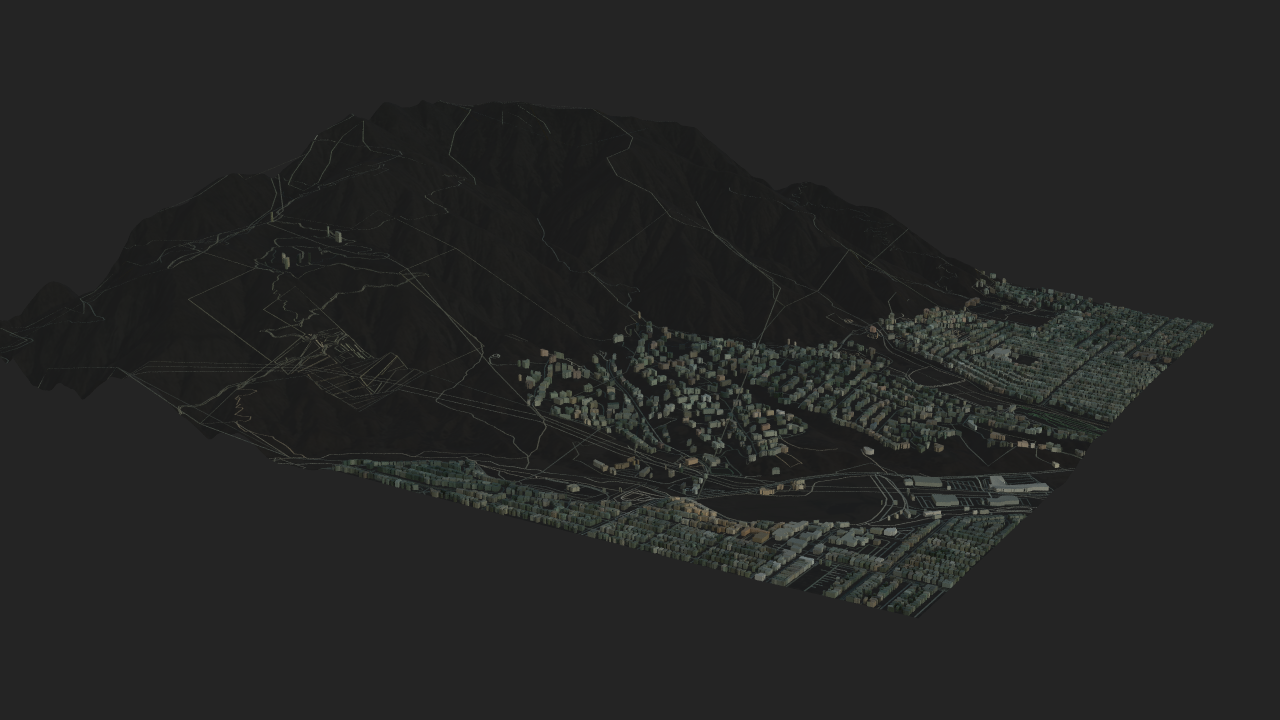
OpenStreetMap (OSM) Geospatial Data
Procedural OpenStreetMap workflow for turning roads, building footprints, and elevation data into structured 3D environments.
2) Processing System (Core Logic)
Processing converts raw geospatial layers into structured terrain controls through:
- attribute extraction
- mask generation
- height and feature logic
This is the system "brain" that turns heterogeneous sources into coherent, art-directable terrain behavior.
3) Terrain Generation
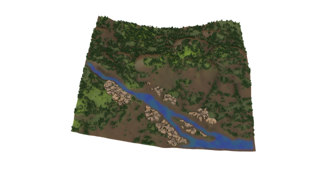
Generation synthesizes terrain and places derived features using repeatable procedural rules.
raw → structured → terrain
This stage emphasizes reproducibility and parameter control, not one-off manual sculpting.
4) Output + Integration (Production Value)
The system outputs production-ready artifacts and runtime connections:
- heightmaps and masks for terrain assembly
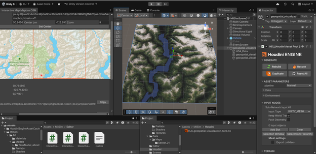
- Unity integration for interactive environments
- Mapbox-based streaming for scalable delivery
This is the deployment layer that makes the system practical for simulation, world-building, and scalable runtime workflows.
Optional Urban Extension
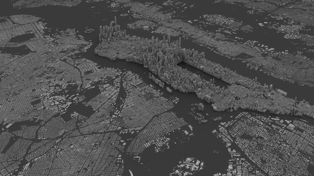
The NYC buildings workflow is included as an optional extension only when framed as the same system applied to urban geospatial data.
Why this structure matters
This portfolio structure shows a reusable system architecture rather than isolated explorations. It directly supports roles in:
- parametric infrastructure
- simulation pipelines
- procedural tooling